

Floodwaters Rise Again on the Vu Gia and Thu Bon Rivers: Key Areas at Risk of Deep Inundation
Heavy rain returned to Da Nang in the early hours of 3 November, causing water levels on the Vu Gia and Thu Bon rivers to rise rapidly. Many residential areas, low-lying communes and urban neighbourhoods are experiencing renewed flooding as the rainfall intensifies across the region.
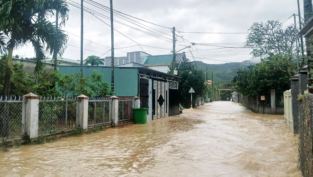
As heavy downpours swept through Da Nang before dawn, water began inundating several locations that had already been severely affected during the previous flood. In Ai Nghia Market in Dai Loc District, water reached the road surface, forcing residents to stay awake through the night to monitor rising levels. In central Da Nang, strong winds and continuous rainfall caused localised flooding of 20 to 30 centimetres in well-known hotspots such as the areas surrounding Da Nang Hospital, Tran Xuan Le Street, Hai Phong Street and Quang Trung Street.
According to the Central Region Hydrometeorological Station, widespread heavy rain is occurring due to intensified cold air combined with upper easterly disturbances. The northern part of the city is expected to receive 150 to 300 millimetres of rain, with some locations exceeding 400 millimetres. Southern districts may receive 200 to 350 millimetres, with isolated areas surpassing 450 millimetres as thunderstorms bring lightning, hail and strong gusts.
Over the next 24 hours, flooding on the Vu Gia and Thu Bon rivers is forecast to reach alert levels two and three. Water levels on the Han River in Cam Le Ward will fluctuate near alert levels one and two. Several locations across the region have already recorded very heavy rainfall during the past three hours, including Thang Binh with 145.6 millimetres, Hoi An with 90.2 millimetres and Nong Son with 78.6 millimetres.
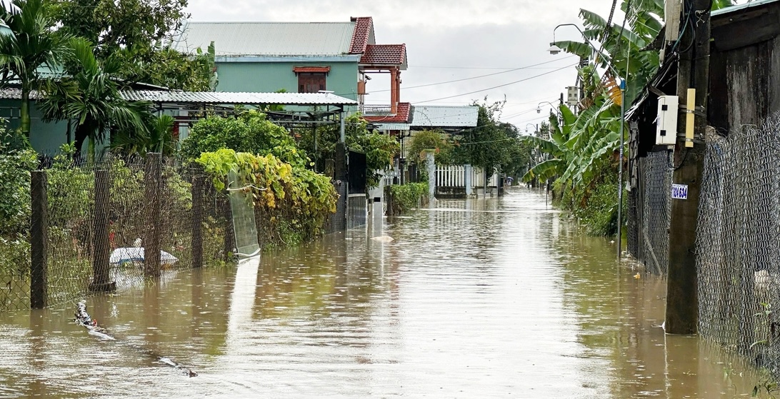
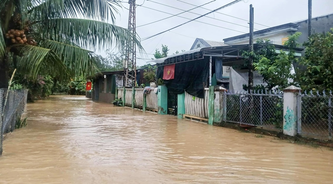
The rising water is causing widespread inundation in low-lying areas along the Vu Gia and Thu Bon rivers. Flood depths are expected to range from 0.25 to 1.25 metres in many communes and wards including Hoi An, Duy Nghia, Thang An, An Thang, Ban Thach, Huong Tra, Quang Phu, Tay Ho, Thang Dien, Thang Truong, Que Xuan, Cam Le, Hoa Xuan, Ngu Hanh Son, Ba Na, Hai Van and others.
Flood levels may reach 0.5 to 1.5 metres, and in some places more than 2.5 metres, in areas such as Hoa Tien, Dien Ban, Go Noi, Nam Phuoc, Dai Loc and Tam Xuan. The deepest inundation, ranging from 1.0 to more than 3.0 metres, is expected in southern Dien Ban, southern Dai Loc, Thuong Duc, western Dien Ban, Vu Gia, Phu Thuan, Thu Bon, Nong Son and Que Phuoc.
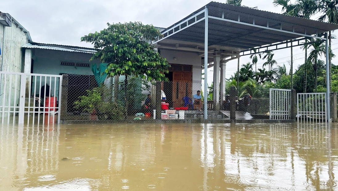
In Hà Nha Commune, floodwaters rose quickly this morning, with roads submerged up to one metre and water continuing to climb. Residents in My An Hamlet were forced to move belongings to higher ground as water entered their homes. Similar conditions are reported in Thuong Duc, where entire residential clusters have been isolated by rising water.
In Da Nang’s Cam Le River area, several neighbourhoods were flooded early in the morning. Streets in Hoa Xuan Ward were submerged by more than 50 centimetres of water by 7:30am, forcing local residents to wade through floodwaters to purchase essential goods. Many households are preparing for possible evacuation if rainfall continues.
In addition to the current flooding, the Central Region Hydrometeorological Station has issued a warning that heavy rain will persist through 4 November. Over the coming days, water levels on the Vu Gia, Thu Bon and other major rivers may continue to rise.
Authorities also report that a tropical storm named Kalmaegi is strengthening east of the Philippines. The storm is expected to enter the East Sea by 5 November, bringing stronger winds and rough seas. Offshore areas may experience wind speeds of level ten to twelve with gusts reaching level fourteen to fifteen, and waves of five to seven metres.
Da Nang’s Civil Defence Steering Committee has requested all military units, government departments, local authorities and relevant agencies to continue implementing flood response measures and ensure public safety as weather conditions evolve.
Recent Post

Fusion to Open Two Landmark Hotels in Hanoi and Hue in Early 2026
Fusion Hotel Group...

Nine Luxury Travel Experiences You Must Experience in 2026
The 2026 Luxe Repo...

Nine Days of Renewal and Transformation at JW Marriott Phu Quoc
During the Lunar N...


Top 3 All Inclusive Resorts Worth Experiencing in 2026
All inclusive holi...

All Inclusive A Curated Holiday in the World of Luxury
For a long time, a...